Japan has 47 prefectures, the country’s first-level administrative units beneath the national government. Knowing how the Japanese prefectures fit together turns a map from a collection of place names into a useful guide: it explains why Tokyo is a metropolis, why Hokkaido is both a region and a prefecture, and why Okinawa sits in the same national system despite its very different island history.
What Japan’s 47 prefectures actually are
A prefecture is Japan’s main level of local government below the national government. Collectively, the 47 are called todōfuken, a word built from the four endings to, dō, fu, and ken. The English word “prefecture” is the usual translation, but the Japanese labels preserve distinctions made during the country’s modernization.
The system was created on August 29, 1871, during the Meiji Restoration. Japan abolished the former feudal han domains and replaced them with prefectures. At first there were more than 300 of them. Repeated mergers and reorganization reduced that number, and the present total of 47 was reached in 1888.
That history helps explain a point that often surprises visitors: Japanese prefectures are not federal states. Japan is a unitary state. Prefectures administer responsibilities delegated by the central government, including police and education, rather than sharing sovereignty with the national government in the way U.S. states do.
Many prefectural boundaries still echo much older divisions. Although the former provincial system was abolished, the outlines of numerous modern prefectures follow the old Ritsuryō provinces established in the seventh century. A contemporary map therefore contains several layers of Japanese administrative history at once.
Why to, dō, fu, and ken do not change a prefecture’s powers
The four endings can look like four grades of government. They are not. The Local Autonomy Law of 1947 standardized the legal status of all 47 prefectures, so to, dō, fu, and ken have equal legal powers. Their names record history, not a hierarchy.
| Japanese ending | Number | Where it appears | What the name reflects |
|---|---|---|---|
| ken | 43 | The standard form across most of Japan | The ordinary designation for a prefecture |
| fu | 2 | Kyoto and Osaka | Their historical role as urban prefectures for the former imperial and commercial cities |
| dō | 1 | Hokkaido | An old term for an administrative circuit |
| to | 1 | Tokyo | “Metropolis”; Tokyo formed in 1943 from Tokyo City and Tokyo Prefecture |
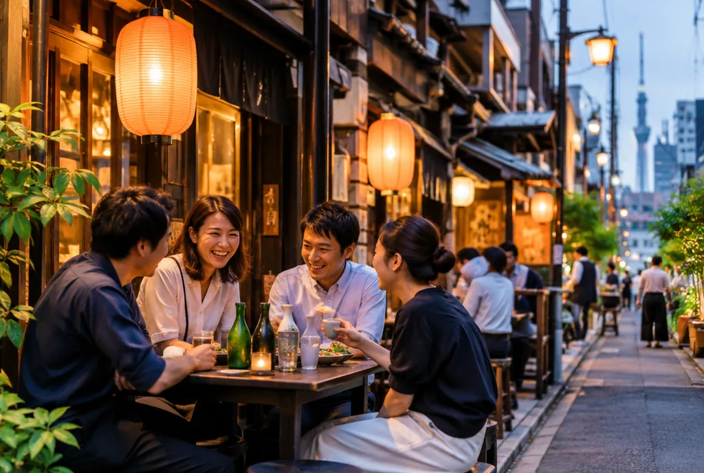
Tokyo’s label is the most visibly unusual. Tokyo-to is a metropolitan prefecture and includes 23 special wards that function much like independent cities. No other part of Japan uses that same special-ward model. Yet Tokyo remains one of the 47 prefectures, not a separate level outside the prefectural system.
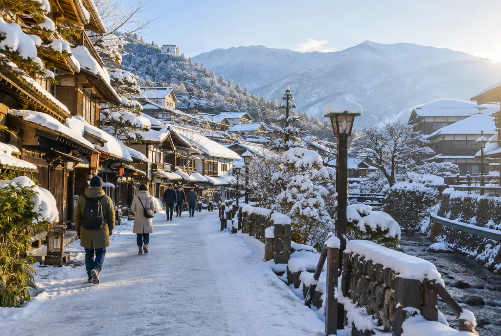
Hokkaido’s name is also exceptional. It is the only dō, a word derived from the older Gokishichidō system. Its administrative path differed from that of most prefectures: it was known as Ezo before the Meiji era, came under a development commission from 1869, and passed through a colonization agency and three separate prefectures (Sapporo, Hakodate, and Nemuro) before receiving full prefectural status in 1947.
A map of Japanese prefectures begins with eight regions
The 47 prefectures are traditionally grouped into eight regions: Hokkaido, Tōhoku, Kantō, Chūbu, Kansai or Kinki, Chūgoku, Shikoku, and Kyūshū, which includes Okinawa. These regions of Japan are useful geographic, statistical, and cultural shorthand. They are not another tier of government: no region has its own elected officials or administration.
A map of Japanese prefectures is easiest to read from north to south. Hokkaido forms both a region and a single prefecture. The islands of Shikoku and Kyūshū likewise each form one region, while Honshū, the largest island, is divided into five regional groupings: Tōhoku, Kantō, Chūbu, Kansai, and Chūgoku. Okinawa extends the Kyūshū region far to the south across the Ryūkyū Islands.
Regional labels can also be more granular than the eight-region map. Chūbu includes the subregions Hokuriku, Kōshin’etsu, and Tōkai; Chūgoku is often divided into San’in and San’yō. These names organize geography rather than create additional governments.
Kantō is the most populous region, with more than 42 million people around Tokyo. That concentration is a reminder that a region is not the same thing as one prefecture: Kantō contains Tokyo plus six neighboring prefectures.
Chūbu is the largest regional grouping by number of prefectures, with nine. Its prefectures include Niigata, at 12,584 square kilometers; Ishikawa, at 4,186 square kilometers; landlocked Nagano; and Aichi, whose capital is Nagoya. Kansai has seven prefectures, including the two fu, Kyoto and Osaka. Chūgoku has five, while Shikoku has four.
The eight-region scheme is a way to see proximity without erasing differences. Tōhoku includes Iwate, at 15,278 square kilometers, and Fukushima, at 13,783 square kilometers. On Shikoku, Kagawa is only 1,876.72 square kilometers, while Kōchi covers 7,104 square kilometers. A map gives the outline; regional grouping supplies the context for comparing neighboring prefectures.
The complete list of Japanese prefectures, grouped by region
The table below is a practical list of Japanese prefectures with their prefectural capitals. Names are grouped by the conventional eight regions, not by political rank. The regional groups add up to all 47 prefectures.
| Region | Prefectures and capitals |
|---|---|
| Hokkaido | Hokkaido — Sapporo |
| Tōhoku | Aomori — Aomori; Iwate — Morioka; Miyagi — Sendai; Akita — Akita; Yamagata — Yamagata; Fukushima — Fukushima |
| Kantō | Ibaraki — Mito; Tochigi — Utsunomiya; Gunma — Maebashi; Saitama — Saitama; Chiba — Chiba; Tokyo — Shinjuku; Kanagawa — Yokohama |
| Chūbu | Niigata — Niigata; Toyama — Toyama; Ishikawa — Kanazawa; Fukui — Fukui; Yamanashi — Kōfu; Nagano — Nagano; Gifu — Gifu; Shizuoka — Shizuoka; Aichi — Nagoya |
| Kansai (Kinki) | Mie — Tsu; Shiga — Ōtsu; Kyoto — Kyoto; Osaka — Osaka; Hyōgo — Kōbe; Nara — Nara; Wakayama — Wakayama |
| Chūgoku | Tottori — Tottori; Shimane — Matsue; Okayama — Okayama; Hiroshima — Hiroshima; Yamaguchi — Yamaguchi |
| Shikoku | Tokushima — Tokushima; Kagawa — Takamatsu; Ehime — Matsuyama; Kōchi — Kōchi |
| Kyūshū and Okinawa | Fukuoka — Fukuoka; Saga — Saga; Nagasaki — Nagasaki; Kumamoto — Kumamoto; Ōita — Ōita; Miyazaki — Miyazaki; Kagoshima — Kagoshima; Okinawa — Naha |
The list also shows how names and capitals can be identical without following a universal rule. In Tōhoku, Aomori, Akita, Yamagata, and Fukushima have capitals of the same name, while Iwate’s capital is Morioka and Miyagi’s is Sendai. In Kantō, Saitama and Chiba match their capitals, but Ibaraki, Tochigi, Gunma, Tokyo, and Kanagawa do not.
Chūbu supplies another compact illustration: Niigata, Toyama, Fukui, Nagano, Gifu, and Shizuoka match their capitals; Ishikawa is centered on Kanazawa, Yamanashi on Kōfu, and Aichi on Nagoya. The pattern continues across the country. The names are best treated as two separate facts to learn: the prefecture, and the city where its government sits.
The ISO-3166-2 codes offer another way to orient a map. They run from north to south: Hokkaido is JP-01 and Okinawa is JP-47. The codes are useful when a list needs an unambiguous order, especially because regional arrangements are geographic conventions rather than governmental categories.
Prefectural capitals reveal more than matching names
A capital is the administrative center of a prefecture, but its name does not always mirror the prefecture’s name. In 32 of the 47 cases, the capital and prefecture share a name. Aomori, Nagano, Hiroshima, and Osaka are familiar examples. The remaining cases are worth learning because they often cause confusion on a map.
Kanagawa’s capital is Yokohama, Japan’s second-largest city with more than 3.7 million people. Aichi’s capital is Nagoya, Hyōgo’s is Kōbe, and Kagawa’s is Takamatsu. Hokkaido’s capital is Sapporo, the one prefectural capital whose name does not appear anywhere in the prefecture name; Hokkaido is not named for a city. Tokyo’s prefectural capital is Shinjuku.
Matching names can mislead in the other direction, too. There are five cities called Iwate, Ibaraki, Okinawa, Tochigi, and Yamanashi that share a prefecture’s name but are not its capital. A reader cannot safely infer a capital solely from a shared place name.
The scale of capitals also varies sharply. Sapporo had about 1.89 million residents in 2025, while Naha had about 313,000 residents on only 39.98 square kilometers. Tottori, with roughly 183,000 residents in 2022, is Japan’s least populous prefectural capital. Capitals are administrative centers, not a standardized class of cities.
For a map reader, the useful sequence is simple: identify the prefecture first, then check the capital rather than assuming the names match. That prevents a common error with Kanagawa and Yokohama, Aichi and Nagoya, or Kagawa and Takamatsu. It also keeps the exceptional cases in perspective. Sapporo is not an alternate name for Hokkaido; it is the prefectural capital of a prefecture whose name does not contain a city name.
Tokyo deserves the same two-step reading. Tokyo is the to, or metropolis, while Shinjuku is given as its prefectural capital. The 23 special wards make Tokyo’s internal organization different from every other prefecture, but that difference does not make the prefecture itself a separate category outside the national count of 47.
Japan’s largest and smallest prefectures make scale visible
Hokkaido is Japan’s biggest prefecture by area: 83,424.44 square kilometers, or about 22 percent of Japan’s land area. It is roughly 44 times the size of Kagawa, the smallest prefecture at 1,876.72 square kilometers on Shikoku. Osaka, at 1,905.14 square kilometers, is the second-smallest by area.
Tokyo offers the opposite lesson. It is Japan’s most populous prefecture, with about 14.25 million people in 2025, but its area of 2,190.93 square kilometers places it only 45th among the 47. Its population density was about 6,168 people per square kilometer. Hokkaido had the lowest density, at 59.8 people per square kilometer, despite covering the most land.
Nagano is the largest landlocked prefecture and the fourth-largest overall, with 13,561.56 square kilometers. At the lower end of population, Tottori Prefecture had around 523,732 residents in 2025. Area, population, and density therefore tell three different stories; “largest” needs a qualifier before it becomes a useful comparison.
Japan’s total area is 377,970.75 square kilometers, although 12,780.27 square kilometers are described as unmeasured or disputed border areas. Against that national scale, Hokkaido’s roughly 22 percent share is unusually large for one prefecture.
Population changes add another layer. Japan’s total population declined by 2.45 percent between 2020 and 2025, from 126.1 million to 123.0 million. The contrast between Tokyo’s 14.25 million residents and Tottori’s 523,732 does not reduce the importance of either prefecture; it shows why a national total does not describe local scale. A concise map label may identify a prefecture, but area and population figures explain how different two prefectures can be.
Hokkaido and Okinawa show the range within one country
Hokkaido is Japan’s northernmost prefecture and its largest. Its size helps explain its 14 subprefectures, which cover the territory outside the major cities. The prefecture had about 4.99 million residents in 2025, while Sapporo alone had about 1.89 million. Hokkaido and Tokyo are also the only prefectures with their own proportional election block for Japan’s lower house.
Okinawa is Japan’s southernmost prefecture, spread across the Ryūkyū Islands. It was the independent Ryūkyū Kingdom until 1879 and was under U.S. administration from 1945 to 1972, the longest postwar occupation of a Japanese region. Its historical path is therefore distinct from that of the prefectures on the main islands.
The figures make Okinawa’s position especially clear. With about 2,282.59 square kilometers, it ranks 44th by area; it had roughly 1.47 million residents in 2025. Yet it contains around 74 percent of all U.S. military facilities in Japan while accounting for only 0.6 percent of Japan’s land area. Ryūkyū languages are still spoken there and differ substantially from standard Japanese, though they are increasingly displaced among younger generations.
Placed at opposite ends of a north-to-south map, Hokkaido and Okinawa make a useful comparison. Hokkaido covers 83,424.44 square kilometers, while Okinawa covers 2,282.59 square kilometers. Hokkaido’s prefectural population was about 4.99 million, compared with Okinawa’s 1.47 million; Tokyo’s density and the compact size of Naha show why population cannot be inferred from a prefecture’s outline.
Both also complicate a mainland-only view of Japan. Hokkaido has a unique dō designation and 14 subprefectures; Okinawa is part of the Kyūshū regional grouping yet retains the distinct history of the Ryūkyū Kingdom and languages that differ from standard Japanese. The 47-prefecture framework contains these differences rather than making them disappear.
Four common misunderstandings about Japanese prefectures
- “Japan’s regions are governments.” Kantō, Kansai, and the other regions are geographic, cultural, and statistical groupings. They do not have elected regional governments.
- “A Japanese prefecture is a U.S. state.” The comparison can help a first-time reader picture a large local unit, but the legal structure is different. Japan is a unitary state, and prefectural functions such as police and education are delegated from the national level.
- “Every capital has the prefecture’s name.” Thirty-two do, but Yokohama, Nagoya, Kōbe, Sapporo, and many others demonstrate why a map must be read carefully.
- “Tokyo is Japan’s largest prefecture.” Tokyo leads in population, not land area. Hokkaido is the largest by area, while Tokyo ranks 45th on that measure.
A final misconception comes from the suffixes. Kyoto-fu, Osaka-fu, Hokkaido, and Tokyo-to are not superior or inferior to the 43 ken. Since 1947, the four labels have carried the same legal status. They are historical clues, not a ranking system.
Frequently Asked Questions
What are the 47 prefectures in Japan?
They are Japan’s 47 first-level administrative units below the national government. Together they are called todōfuken and are conventionally grouped into eight regions for geographic and cultural reference.
What does prefecture mean in Japan?
“Prefecture” is the English term for one of the 47 local government units. In Japanese, the collective term todōfuken includes 43 ken, two fu, one dō, and one to.
What is Japan’s biggest prefecture?
Hokkaido is the largest prefecture by area, at 83,424.44 square kilometers. It accounts for about 22 percent of Japan’s land area and is about 44 times larger than Kagawa, the smallest prefecture.
Are Japanese prefectures like states?
They are comparable only in the broad sense that both are large local units. Japan is a unitary state, not a federation, and its prefectures carry out responsibilities delegated by the national government, including police and education.
How many prefectures does Japan have?
Japan has 47 prefectures. The present 47-prefecture arrangement was reached in 1888 after the post-1871 system consolidated more than 300 early prefectures.